 |
|
 |
 |
 |
 |
 |
 |
|
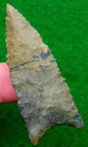
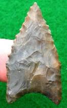
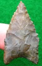
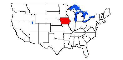
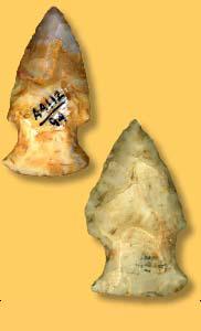
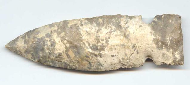
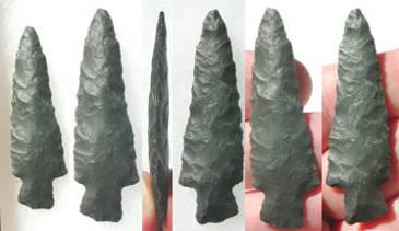
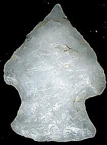
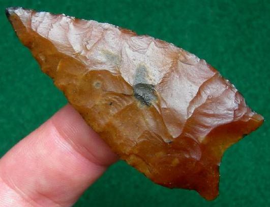
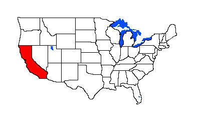
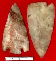
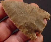
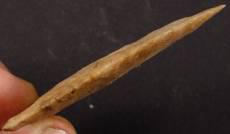
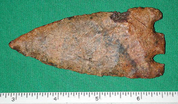
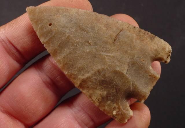
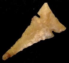
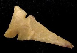
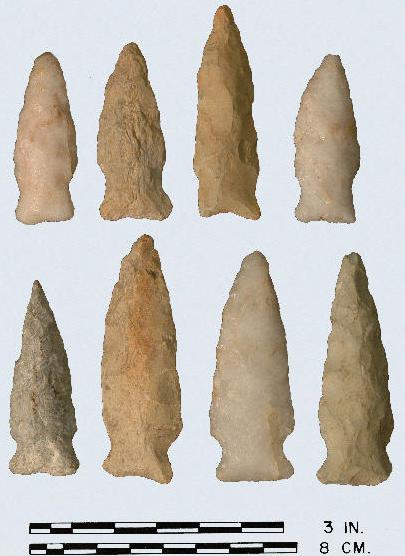
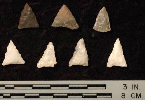
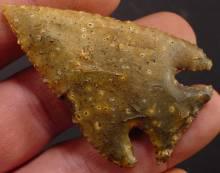
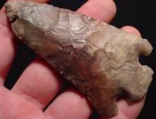
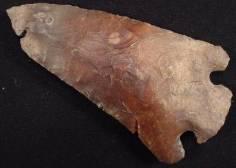
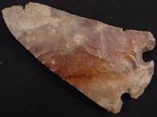
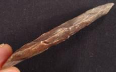
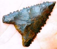
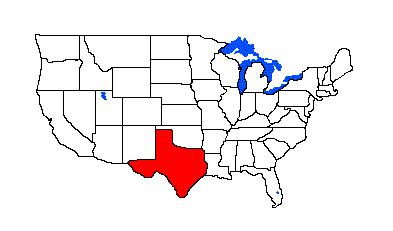
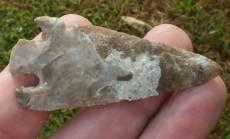
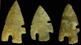
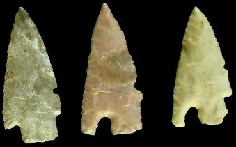
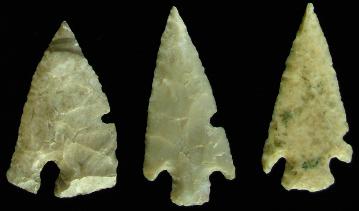
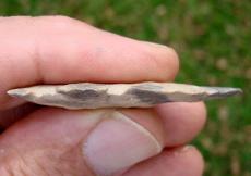
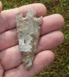
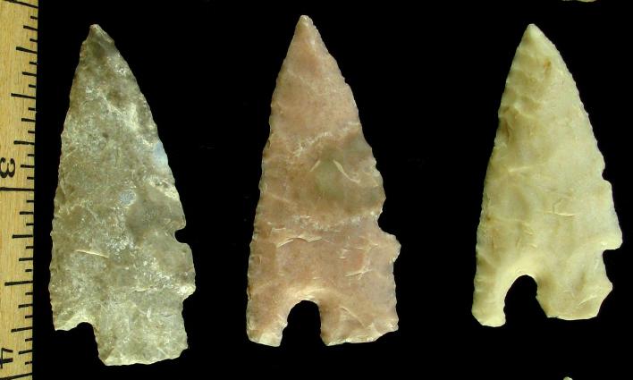
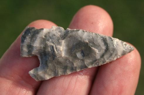
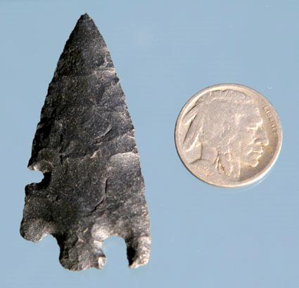
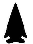
Charcos Associated Dates: 3000 – 2000 Y.B.P.
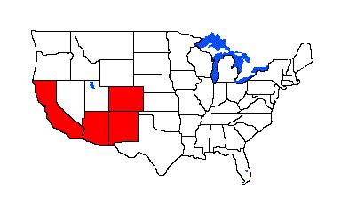
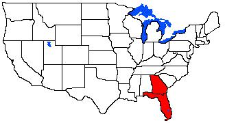
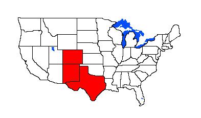
Distribution: Northern Mexico into Texas
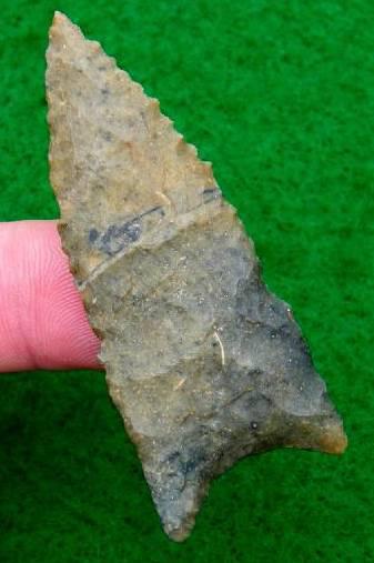
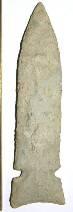
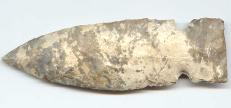
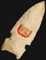
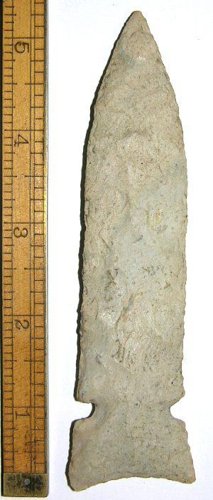
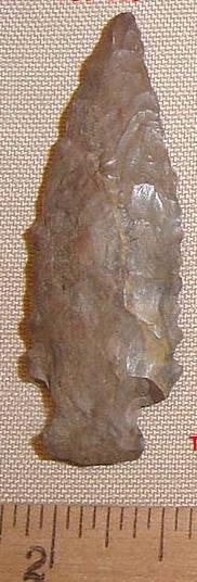
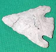
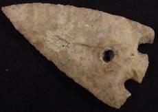
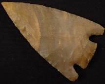
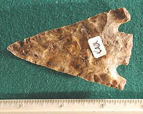
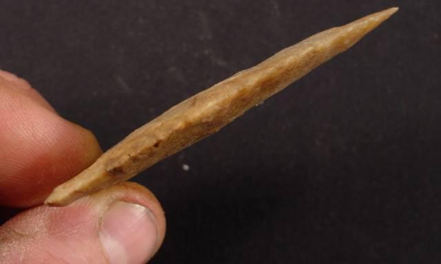
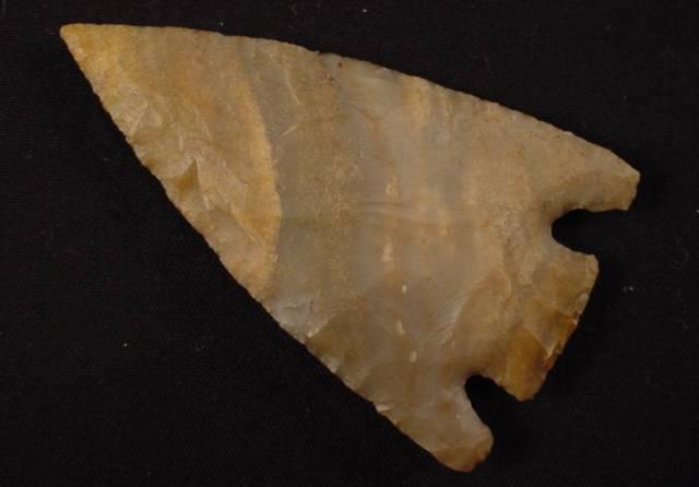
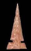
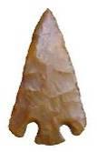
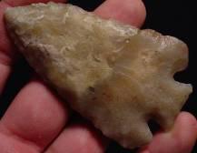
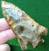
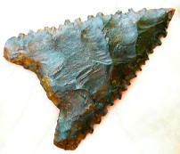
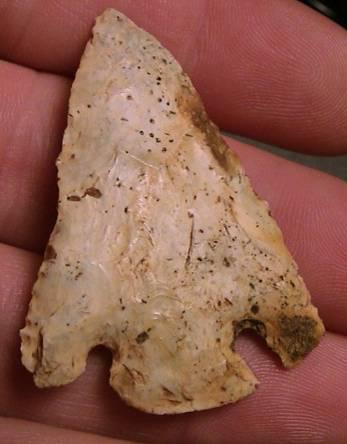
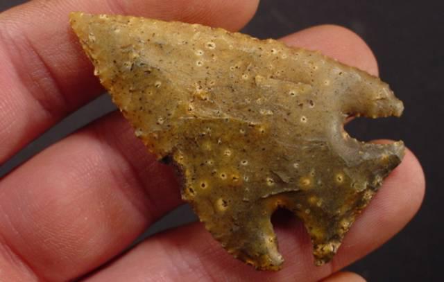
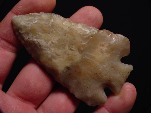
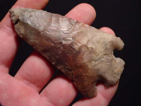
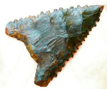
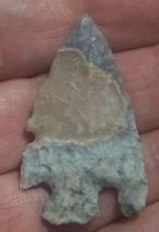
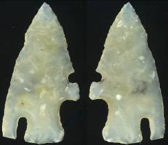
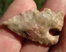
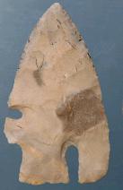
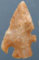
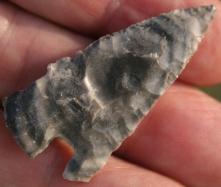
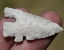
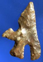
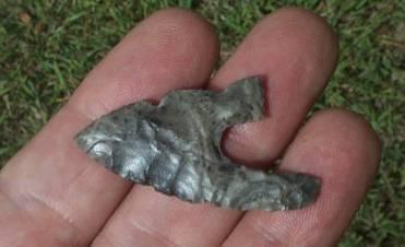
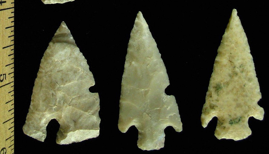
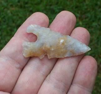
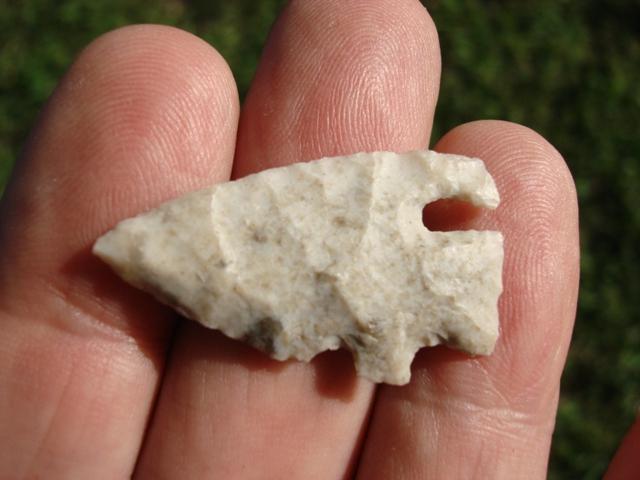
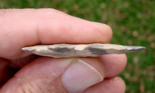
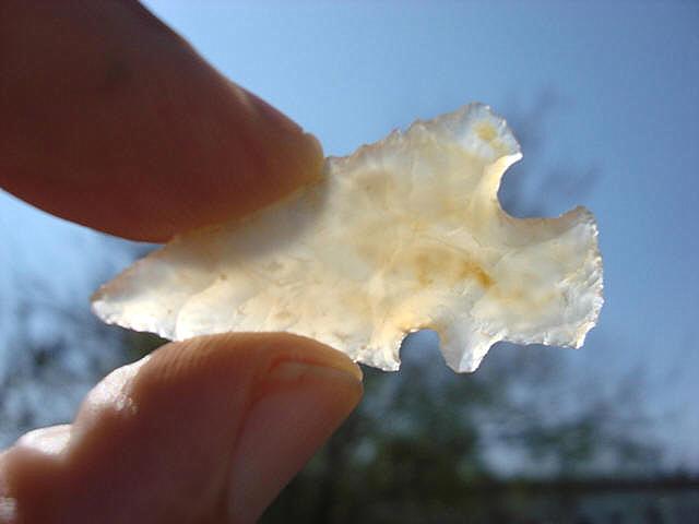
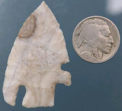
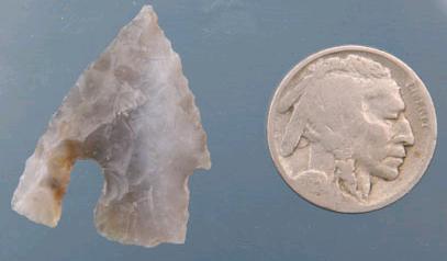
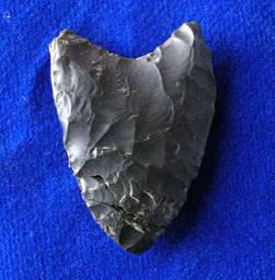
ABOVE: CHARC01: Charcos point; Zapata, Texas; 0.75 inch (18.75mm) CHARCOS POINT THUMBNAIL GALLERY (108 images: 54 source images/54 thumbnails)
End of Charcos Thumbnails - Complete
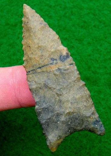
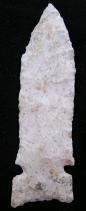
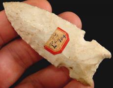
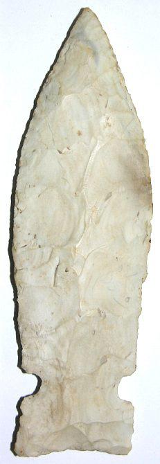
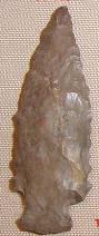
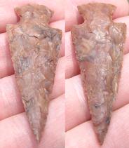
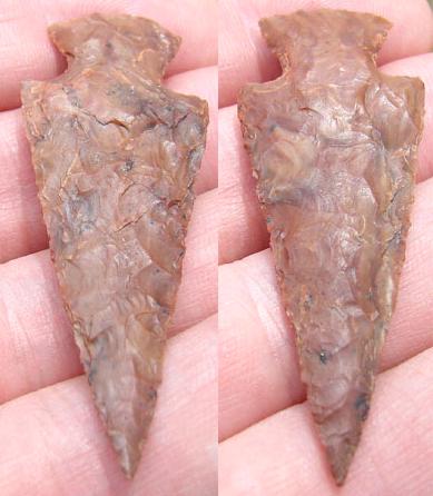
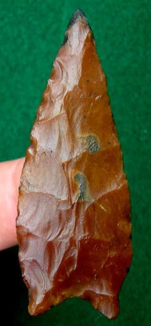
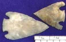
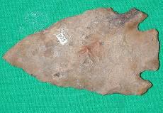
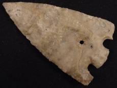
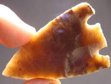
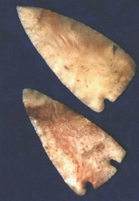
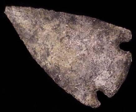
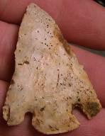
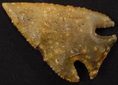
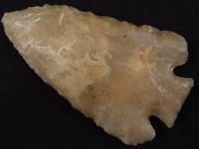
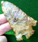
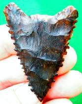
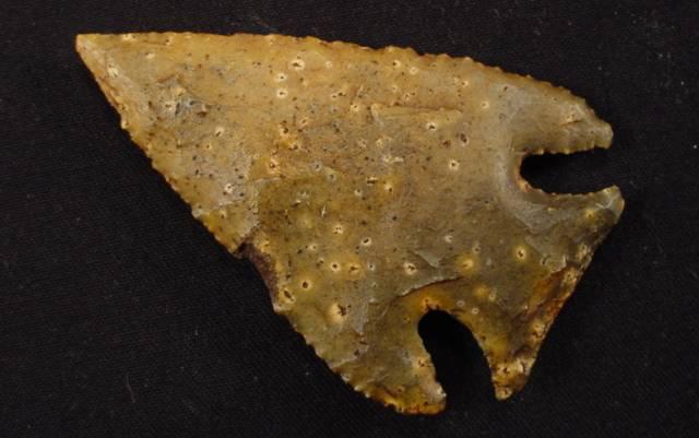
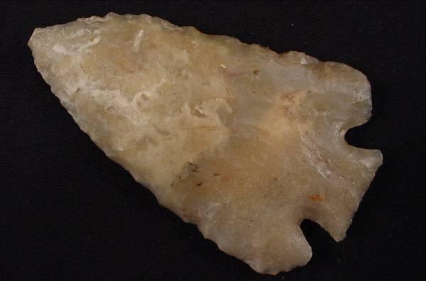
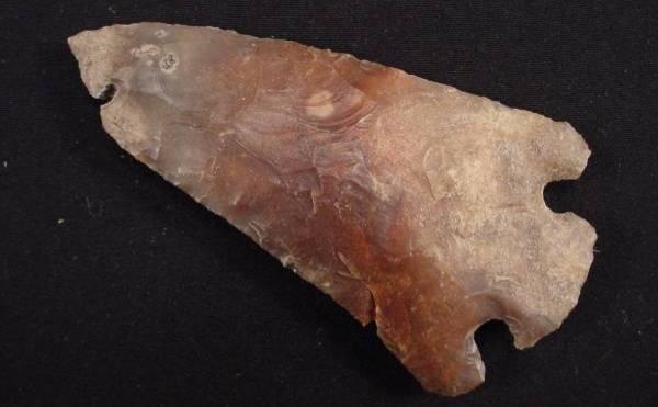
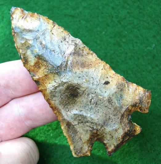
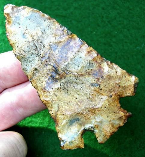
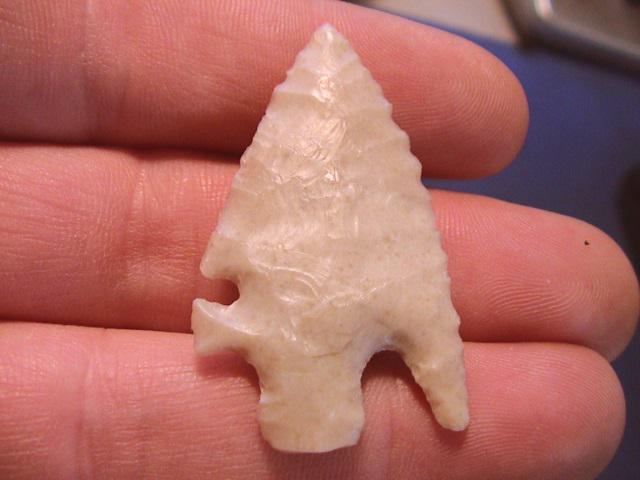
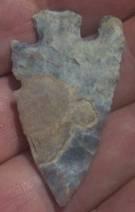
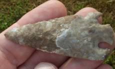
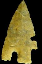
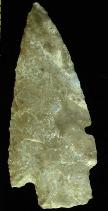
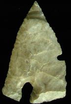
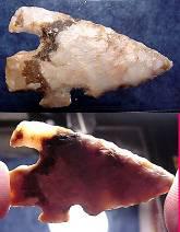
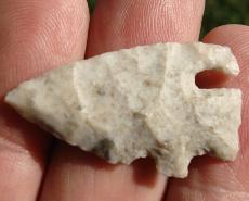
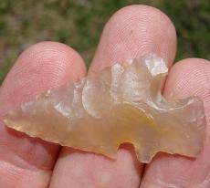
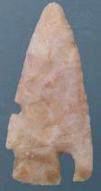
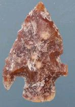
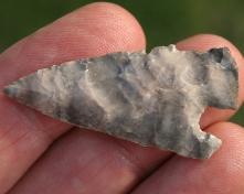
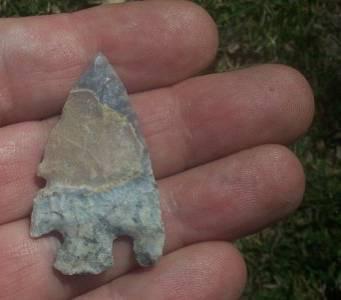
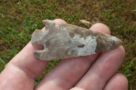
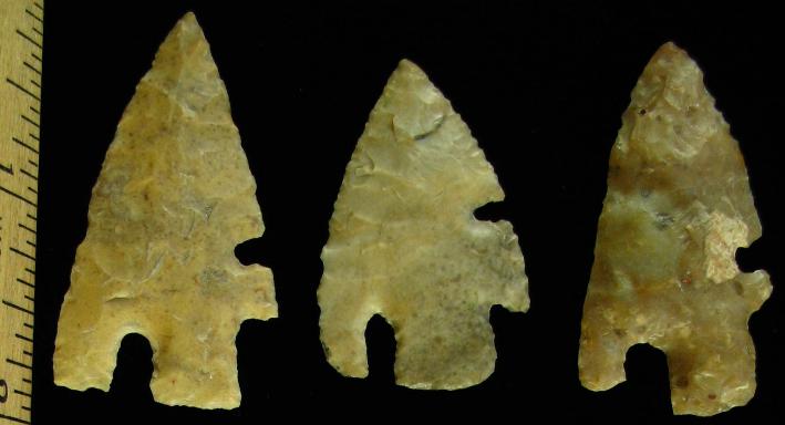
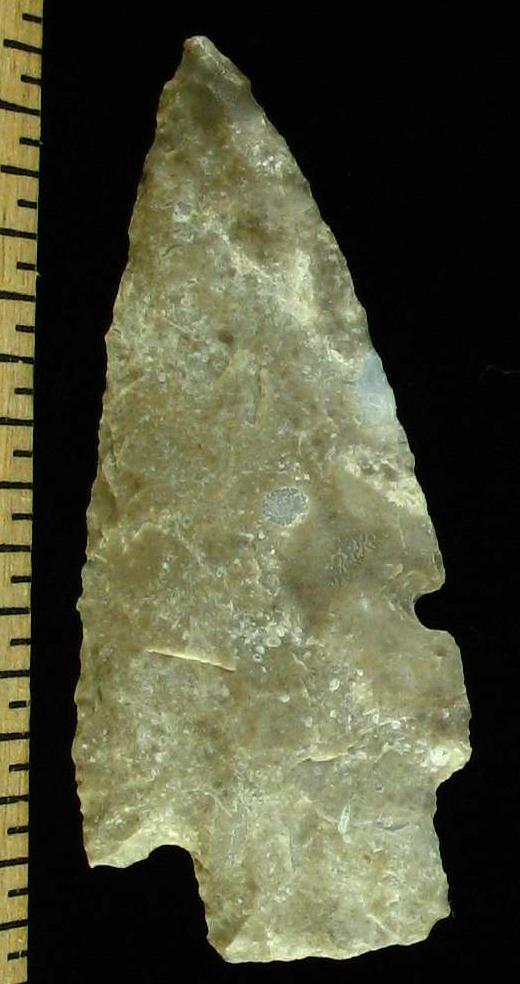
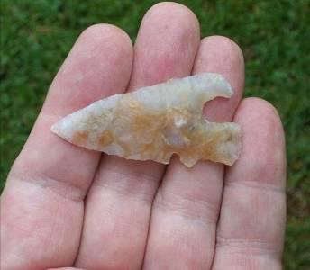
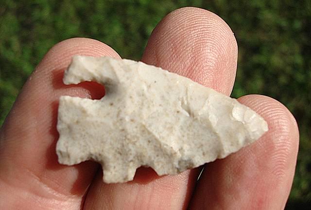
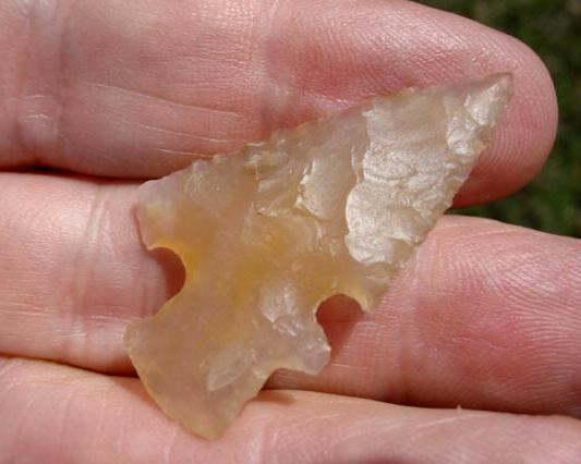
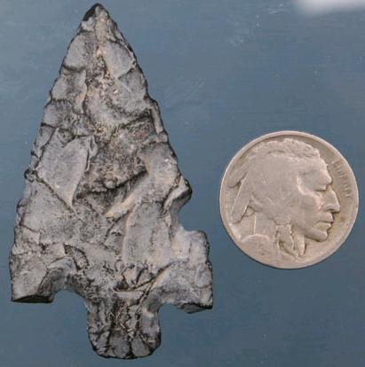
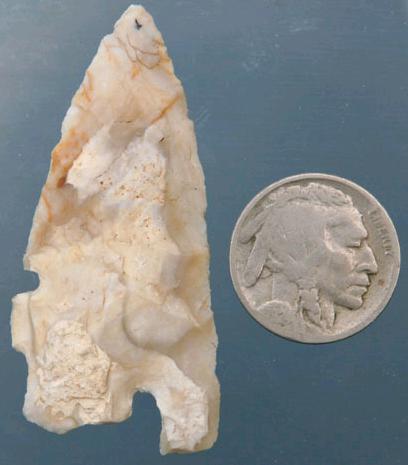
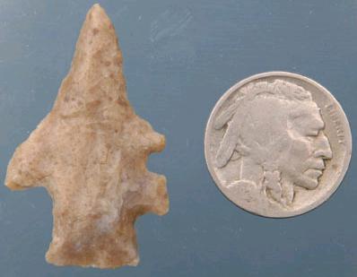
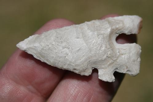
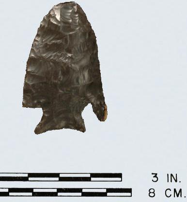
ABOVE, L-R: CHARC02 AND CHARC03: Charcos Point; Zapata Co., Texas; 1.81 inches (45.25mm)
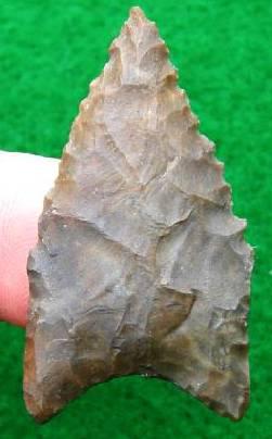
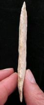
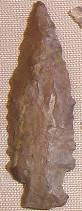
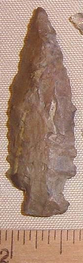
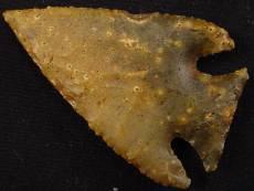
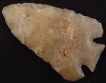
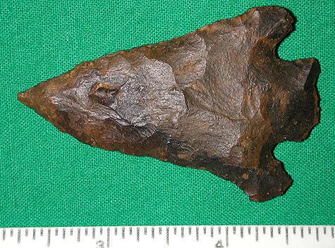
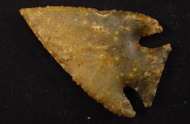
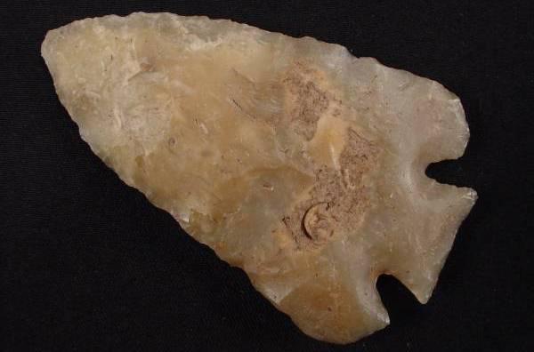
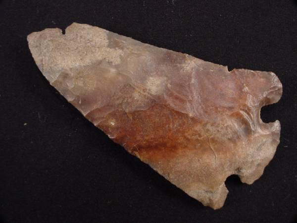
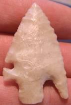
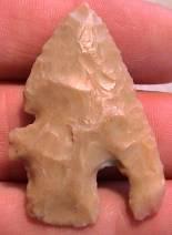
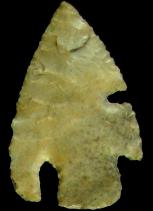
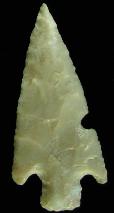
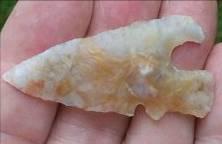
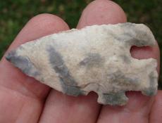
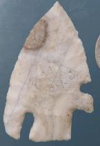
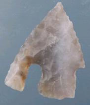
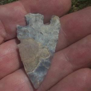
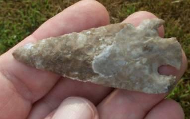
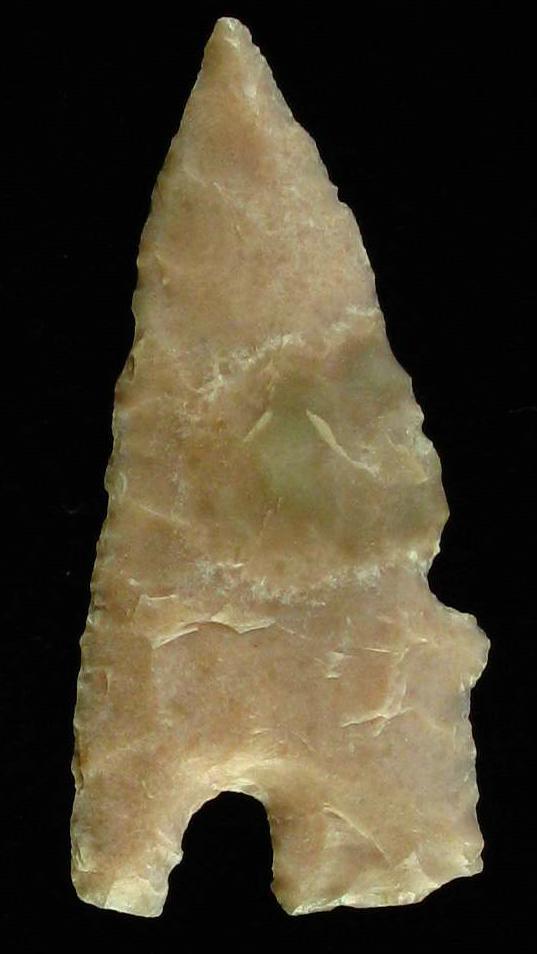
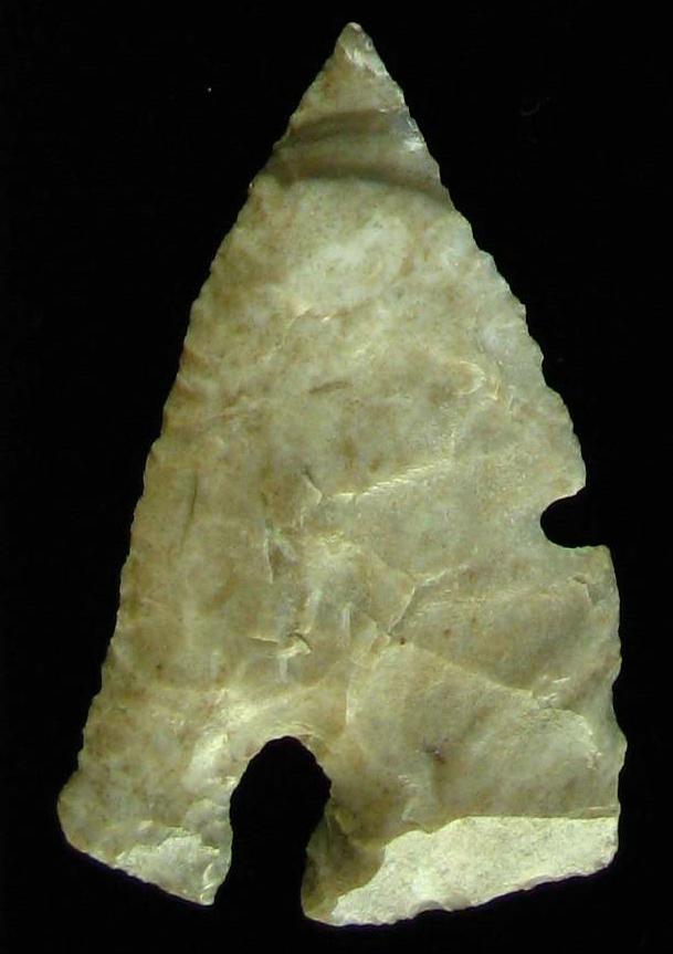
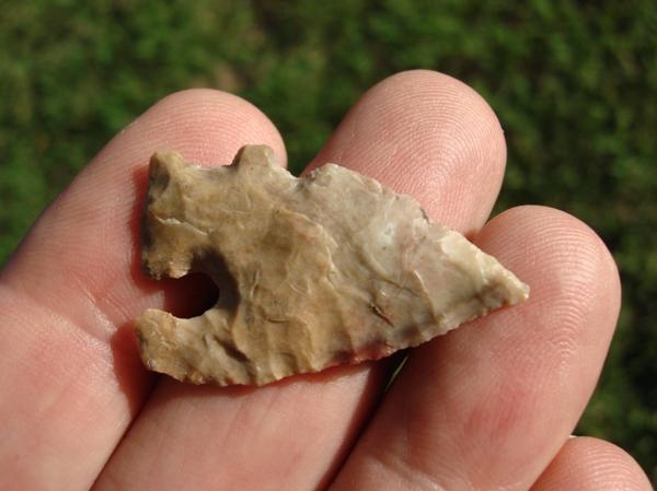
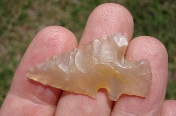
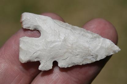
ABOVE: CHARC04: Charcos point; Zapata Co., Texas; size not given
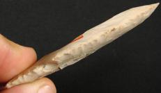
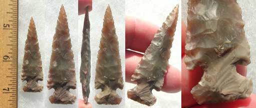
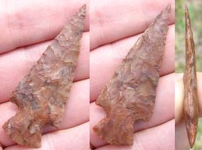
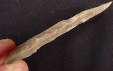
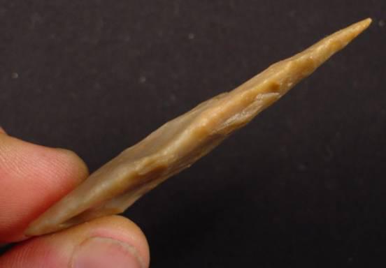
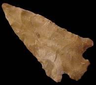
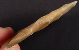
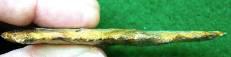
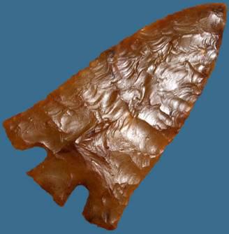
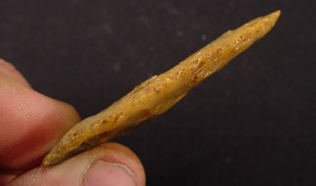
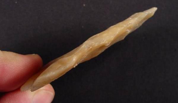
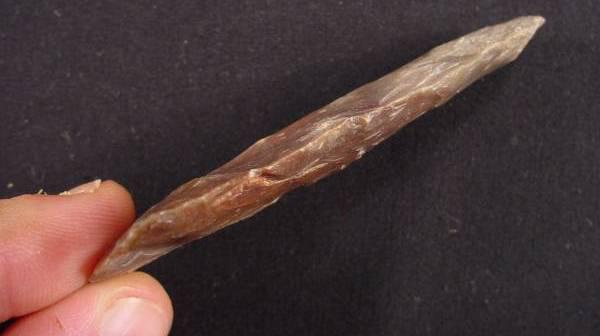
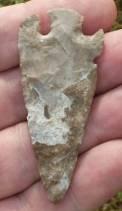
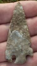
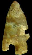
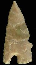
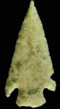
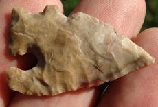
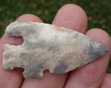
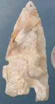
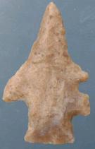
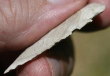
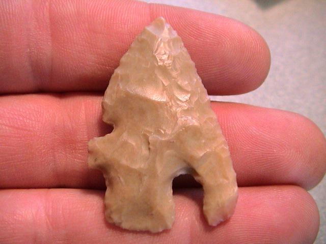
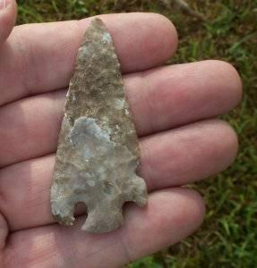
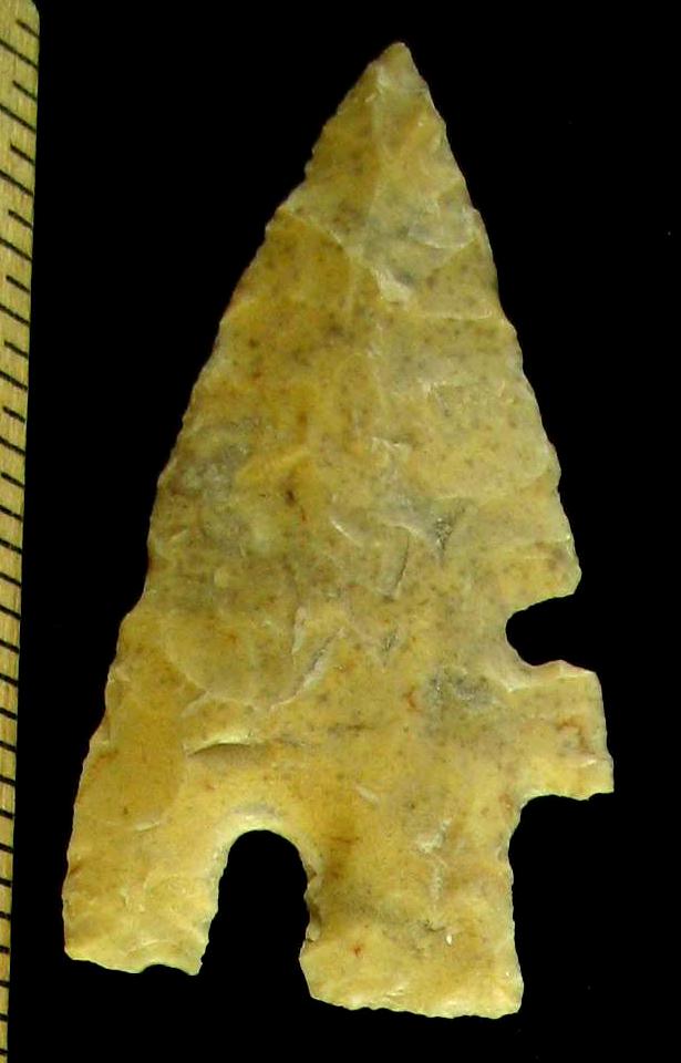
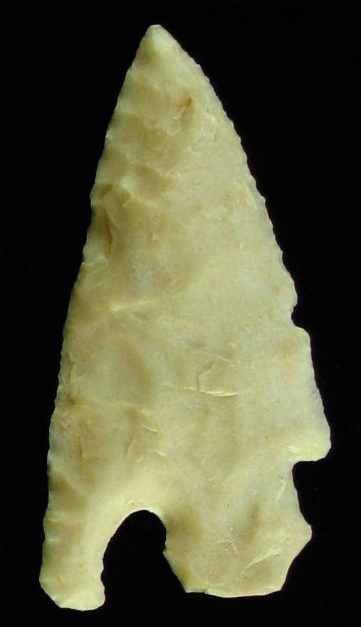
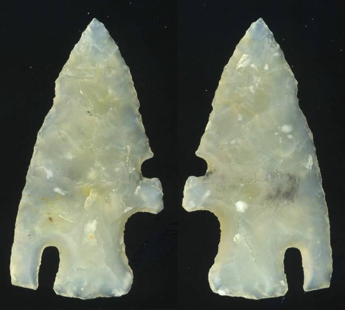
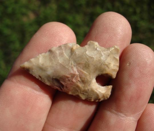
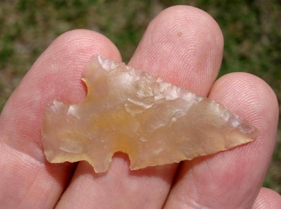
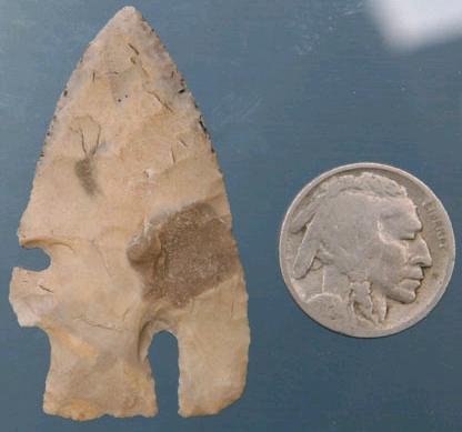
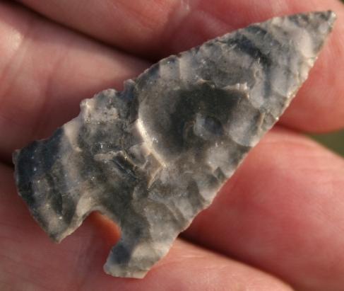
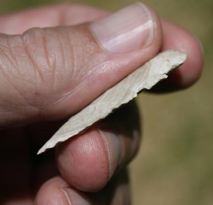
ABOVE, LEFT: CHARC05: Charcos point; first of four images; Zapata Co., Texas; 2.63 inches (65.75mm)
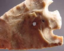
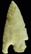
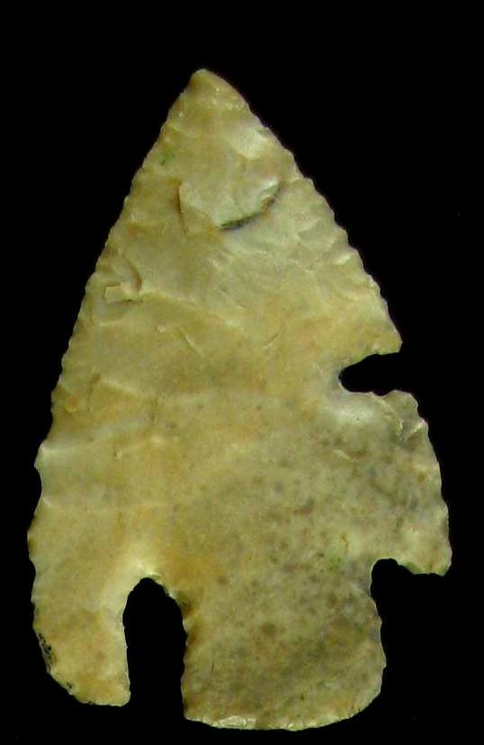
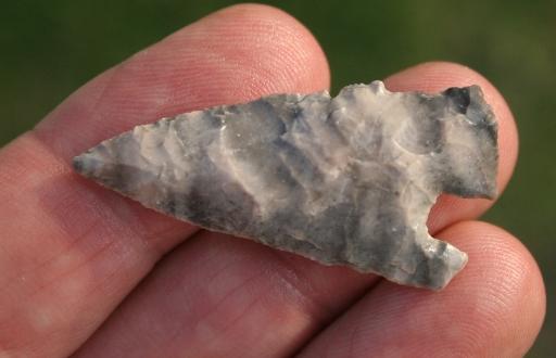
ABOVE, LEFT: CHARC07: third of four images of Charcos point described above in frame #05
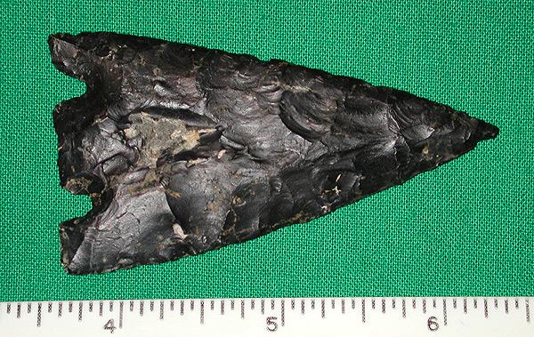
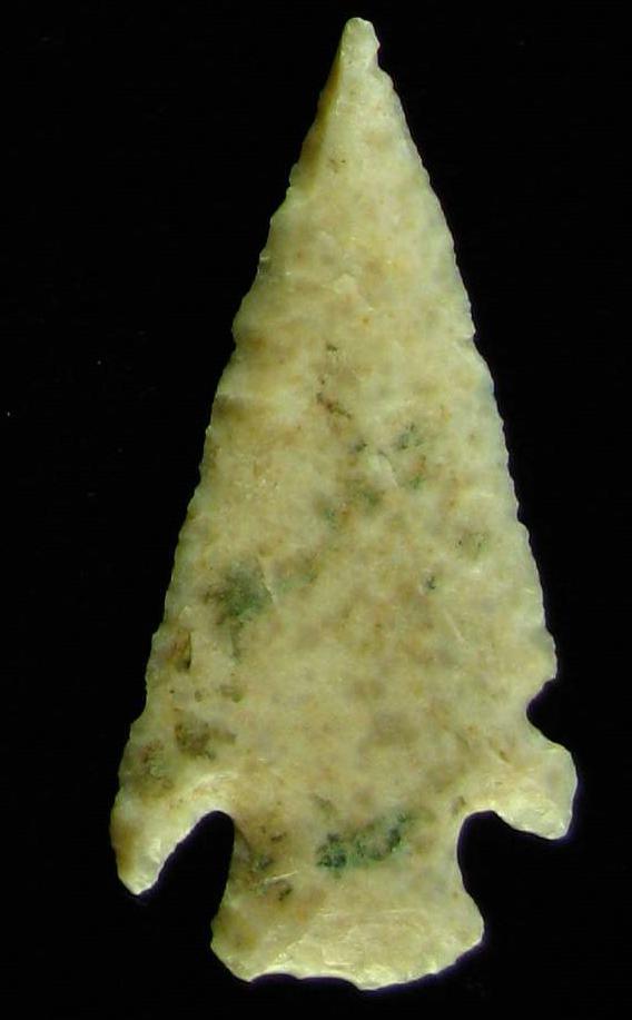
ABOVE: CHARC09: Charcos Point
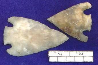
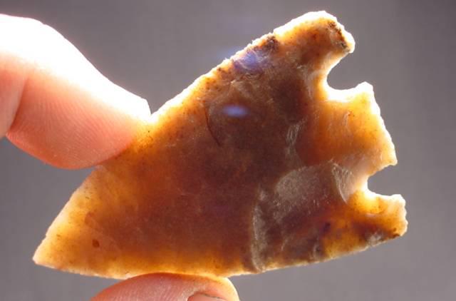
ABOVE: CHARC10: Charcos points; all from Zapata Co., Texas; see individual enlargements below. Source: Chris Merriam, Arrowheadsonline dot com
ABOVE: CHARC11: enlarged view of Charcos point described above in frame #10. Source: Chris Merriam, Arrowheadsonline dot com
ABOVE: CHARC12: enlarged view of Charcos point described above in frame #10. Source: Chris Merriam, Arrowheadsonline dot com
ABOVE: CHARC13: enlarged view of Charcos point described above in frame #10. Source: Chris Merriam, Arrowheadsonline dot com
ABOVE: CHARC14: Charcos points; all from Zapata Co., Texas; see individual enlargements below. Source: Chris Merriam, Arrowheadsonline dot com
ABOVE: CHARC15: enlargement of Charcos point at left in frame #14 above. Source: Chris Merriam, Arrowheadsonline dot com
ABOVE: CHARC16: enlargement of Charcos point in frame #14 above. Source: Chris Merriam, Arrowheadsonline dot com
ABOVE: CHARC17: enlargement of Charcos point at right in frame #14 above. Source: Chris Merriam, Arrowheadsonline dot com
ABOVE: CHARC18: Charcos point; Zapata Co., Texas; see individual enlargements below. Source: Chris Merriam, Arrowheadsonline dot com
ABOVE: CHARC19: enlargement of Charcos point shown above at left in frame #18. Source: Chris Merriam, Arrowheadsonline dot com
ABOVE: CHARC20: enlargement of Charcos point shown above in middle in frame #18. Source: Chris Merriam, Arrowheadsonline dot com
ABOVE: CHARC21: enlargement of Charcos point shown above at right in frame #18. Source: Chris Merriam, Arrowheadsonline dot com
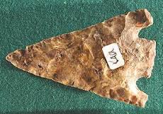
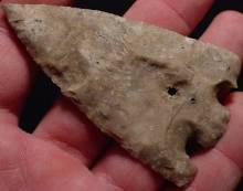
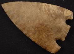
ABOVE: CHARC22: Charcos point; no information; Chris Merriam collection. Source: Chris Merriam, Arrowheadsonline dot com
ABOVE: CHARC23: Charcos point; no details
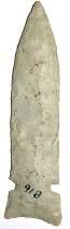
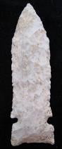
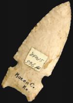
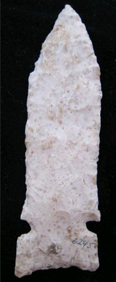
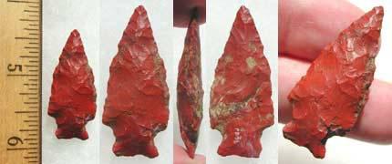
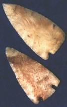
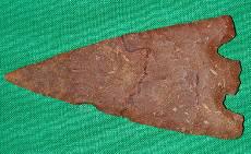
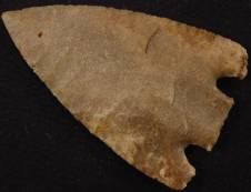
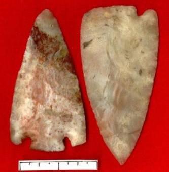
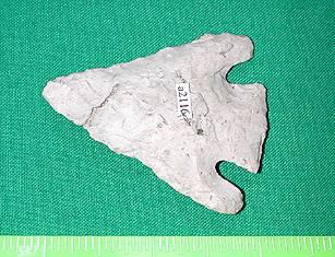
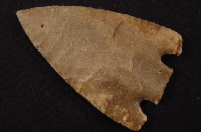
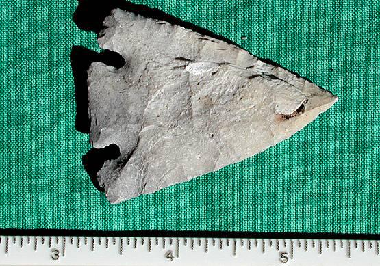
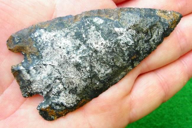
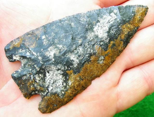
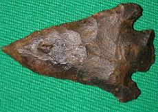
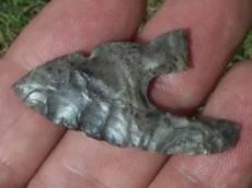
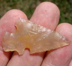
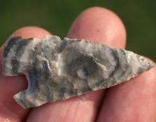
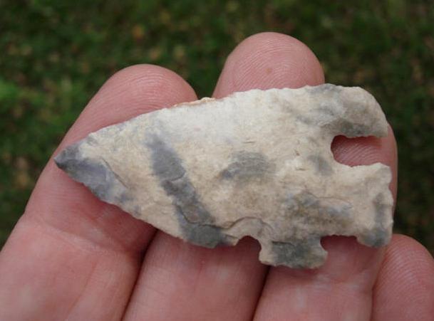
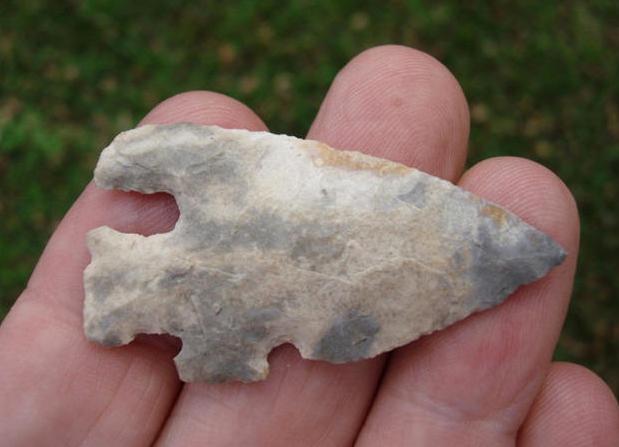
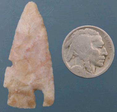
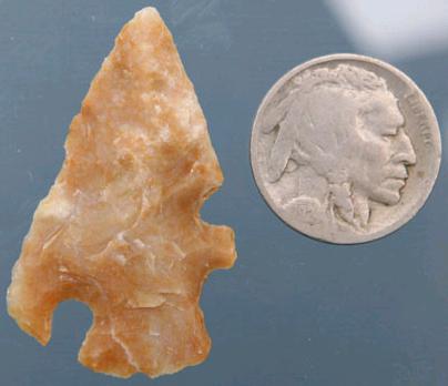
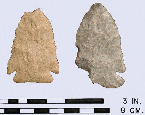
ABOVE: CHARC24 AND CHARC25: Charcos point; Zapata Co., Texas; 2.13 inches (54.1mm)
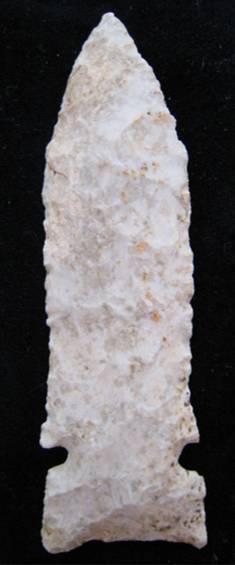
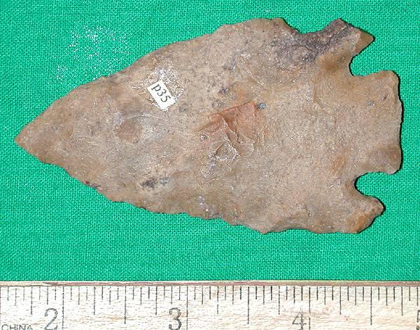
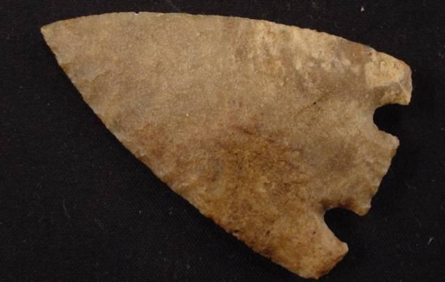
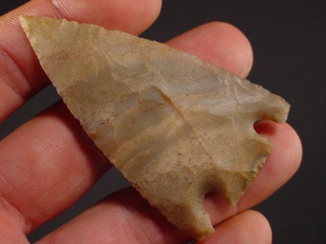
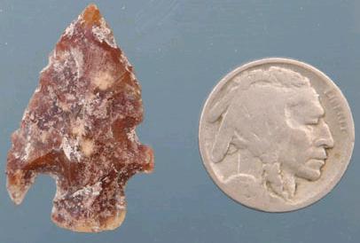
ABOVE: CHARC26: Charcos point; Zapata Co., Texas; 1.43 inches (36.3mm); first of two views. Source: Roadrunnerartifacts dot com
ABOVE: CHARC27: second of two views of Charcos point described above. Source: Roadrunnerartifacts dot com
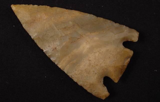
ABOVE: CHARC28: Charcos point; Zapata Co., Texas; 1.43 inches (36.3mm); first of two views. Source: Roadrunnerartifacts dot com
ABOVE: CHARC29: second of two views of Charcos point described above. Source: Roadrunnerartifacts dot com
ABOVE: CHARC30: Charcos point; Zapata Co., Texas; 1.93 inches (49mm); first of three views. Source: Roadrunnerartifacts dot com
ABOVE: CHARC31: second of three views of Charcos point described above in frame #30. Source: Roadrunnerartifacts dot com
ABOVE: CHARC32: third of three views of Charcos point described above in frame #30. Source: Roadrunnerartifacts dot com
ABOVE: CHARC33: Charcos point; Zapata Co., Texas; 1.63 inches (41.4mm); first of four views. Source: Roadrunnerartifacts dot com
ABOVE: CHARC34: second of four views of Charcos point described above in frame #33. Source: Roadrunnerartifacts dot com
ABOVE: CHARC35: third of four views of Charcos point described above in frame #33. Source: Roadrunnerartifacts dot com
ABOVE: CHARC36: fourth of four views of Charcos point described above in frame #33. Source: Roadrunnerartifacts dot com
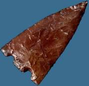
ABOVE: CHARC37: Charcos point; south Texas. Source: with permission, Andy Sizemore, Sizemoreartifacts dot com
ABOVE: CHARC38: Charcos point; south Texas. Source: with permission, Andy Sizemore, Sizemoreartifacts dot com
ABOVE: CHARC39: Charcos point; south Texas. Source: with permission, Andy Sizemore, Sizemoreartifacts dot com
ABOVE: CHARC40: Charcos point; south Texas. Source: with permission, Andy Sizemore, Sizemoreartifacts dot com
ABOVE: CHARC41: Charcos point; south Texas. Source: with permission, Andy Sizemore, Sizemoreartifacts dot com
ABOVE: CHARC42: Charcos point; south Texas. Source: with permission, Andy Sizemore, Sizemoreartifacts dot com
ABOVE: CHARC43: Charcos point; south Texas. Source: with permission, Andy Sizemore, Sizemoreartifacts dot com
ABOVE: CHARC44: Charcos point; south Texas. Source: with permission, Andy Sizemore, Sizemoreartifacts dot com
ABOVE: CHARC45: Charcos point; south Texas. Source: with permission, Andy Sizemore, Sizemoreartifacts dot com
ABOVE: CHARC46: Charcos point; Zapata Co., Texas; first of three views. Source: Roadrunnerartifacts dot com
ABOVE: CHARC47: second of three views of Charcos point described above in frame #46. Source: Roadrunnerartifacts dot com
ABOVE: CHARC48: third of three views of Charcos point described above in frame #46. Source: Roadrunnerartifacts dot com
ABOVE: CHARC49: Charcos point; Zapata Co., Texas; 1.68 inches (42.7mm); first of three views. Source: Roadrunnerartifacts dot com
ABOVE: CHARC50: second of three views of Charcos point described above in frame #46. Source: Roadrunnerartifacts dot com
ABOVE: CHARC51: Charcos point; Zapata Co., Texas; first of three views. Source: Roadrunnerartifacts dot com
ABOVE: CHARC52: Charcos point; south Texas. Source: with permission, Andy Sizemore, Sizemoreartifacts dot com
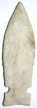
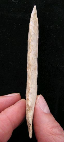
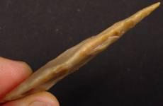
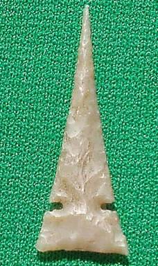
ABOVE: CHARC53: Charcos point; San Juan Co., Utah (this is the south-eastern part of the state); 1.5 inches (38.1mm); first of two views. Source: Tony Wright, Arrowheads dot com
ABOVE: CHARC54: second of two views of Charcos point described above. Source: Tony Wright, Arrowheads dot com -->End of Charcos - Complete Chargin Charleston Associated Dates: 10000 – 9500 Y.B.P.
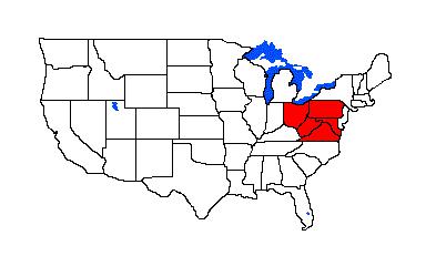
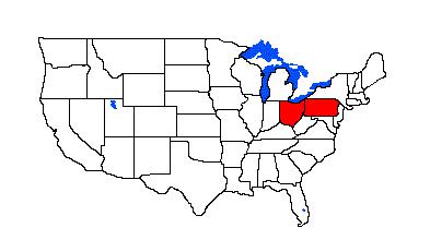
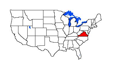
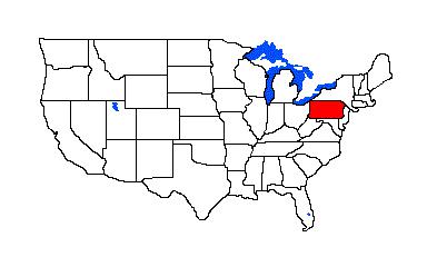
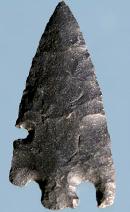
Distribution: Virginia, West Virginia, Pennsylvania, New York and possibly one or more unnamed contiguous states General Description: the following comprehensive description of the Charleston point is from the Virginia Department of Historic Resources (http://www.dhr.virginia.gov/arch_DHR/Points/Charleston.xml): "The Charleston is a small to medium sized point with corner notches, an obliquely flaked blade and serrated edges. The Charleston point dates to the Early Archaic period, 8000 to 7500 BCE. At the St. Albans Site in West Virginia, Broyles (1971) obtained a radiocarbon date from a feature associated with this point type which dated to 7900 BCE. Blade: A recurvate blade with a medial ridge formed by oblique flakes running toward the base. Oblique flaking occurs only on one of two sides, the reverse being covered with both oblique and random flakes. Blade edges are serrated, and shoulders are terminated in expanded shoulders, probably a result of re-working, which also produces the recurvate or incurvate blade edges. The blade has a lop-sided appearance due to the broad, off centered tip which has been thinned by several small flakes. Base: The stem expands toward the base, leaving corner notches from 5 to 8 mm wide and 4 to 8 mm deep. The sides of the stem are straight or slightly convex and the corners are rounded. Bases are either flat or convex, and thinned by several small flakes. Bases are smoothed (not heavily ground), the smoothing extending only across the basal edge of the stem. Size: Length ranges from 30 to 65 mm. Width ranges from 25 to 35 mm. Thickness ranges from 5 to 9 mm. Technique of manufacture: Bifacial percussion flaking; oblique flaking occurs only on one of two sides, the reverse being covered with both oblique and random flakes. Blade edges are serrated and bases have been thinned and smoothed. Corner notches were formed by removal of one or two large flakes from both faces and many small ones near the corner of the stem and the shoulder. McAvoy (1997) defines a similar type from sites along the Nottoway River which he calls the Deep Notched Palmer. The Deep Notched Palmer is a medium point with deep, narrow notches, a straight to excurvate base, and often serrated blade. Benthall (1990) excavated a similar point from the lowest level of Daugherty's Cave in Russell County, Virginia dated to 7840 BCE. Broyles (1971) originally defined this type based on points recovered from the St. Albans Site in Kanawha County, West Virginia."
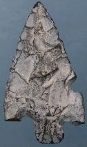
ABOVE: CHARL01: Charleston point; chert. Source: Virginia Department of Historic Resources (http://www.dhr.virginia.gov/arch_DHR/Points/Charleston.xml):
ABOVE: CHARL02: Charleston points; L-R: made from quartzite, chert. Source: Virginia Department of Historic Resources (http://www.dhr.virginia.gov/arch_DHR/Points/Charleston.xml): End of Charleston - Complete Charlie Lake Associated Dates: 10,700 +-120 -- Y.B.P.
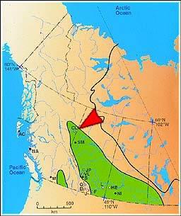
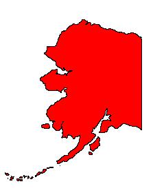
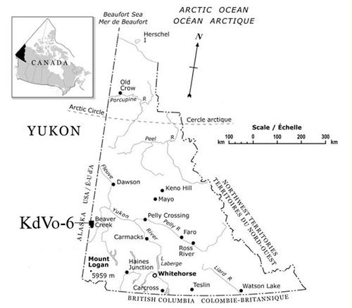
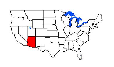
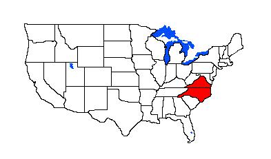
ABOVE, LEFT: CHARLK01: Charlie Lake point (described as spear point); Charlie Lake Cave Site, Peace River area, northeastern British Columbia, Canada; no size reference provided. Source: Dr. Jon Driver, Dept. of Archaeology, Simon Fraser University ABOVE, RIGHT: Map detail indicates Charlie Lake Cave location (site designation HbRf39), near Fort St. John in northeastern British Columbia, Canada Charlie Lake Cave is situated right in the middle of the ice-free corridor region. However, evidence from the site suggests that people may not have moved from north to south down the corridor, but instead may have moved from south to north, following herds of bison. This is suggested from DNA analysis of the bison remains, which indicates that some of the bison found at Charlie Lake originated in the southern regions of the North American continent. In addition, the fluted point found at Charlie Lake Cave is similar to points found at the Indian Creek and Mill Iron sites in Montana. These sites were occupied before Charlie Lake Cave, which suggests that perhaps the tool technology was developed in the south, and brought to Charlie Lake Cave at a later time when the tool makers and their descendants moved north." (TEXT SOURCE: http://www.sfu.museum/journey/home1.php) End of Charlie Lake - Complete Chattahootchee Associated Dates: 10000 – 9500 Y.B.P. CHATTAHOOTCHEE POINT THUMBNAIL GALLERY (8 images: 4 source images/4 thumbnails)
End of Chattahootchee Thumbnails - Complete
ABOVE: CHATT01 AND CHATT02: Chattahootchee point; Russell Co., Alabama; 2.5 inches (63.5mm)
ABOVE: CHATT03 AND CHATT04: Chattahootchee point; Russell Co., Alabama; 1.75 inches (44.4mm) Cherokee Associated Dates: 9000 – 8000 Y.B.P.
Chesapeake Diamond Associated Dates: 7000 – 5000 Y.B.P.
Chesser Associated Dates: 1600 – 1200 Y.B.P.font>
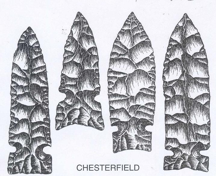
ABOVE, LEFT: CHESS01: Chesser points; no details ABOVE, RIGHT: CHESS02: Chesser point; Ohio General Description: This medium-size point has straight to convex sides and an expanded stem. The blade is triangular, having straight to convex edges. Shoulders are weak and angular; the stem is broad and expanded. The basal edge is straight. This point was named by Olaf Prufer (1967:21) for examples found at Chesser Cave in southwestern Ohio. Age and Culture: A late or terminal Hopewell-early Late Woodland point dating between A.D. 400 and A.D. 770. Chesterfield Associated Dates: approximately 4000 Y.B.P. (Perino dating); more info needed Distribution: According to Perino, eastern and central Missouri, primarily along the Missouri River and its tributaries.
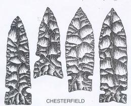
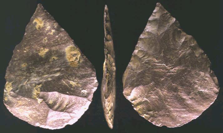
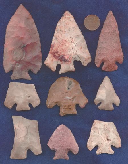
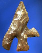
ABOVE: CHEST01: Illustration of Chesterfield points from Greg Perino’s “Selected Preforms, Points and Knives of the North American Indians, Vol. III,” p.43 (kindly supplied by Ken Partain of Kensrelics dot com) General Description (Perino): a large dart/knife form, primarily made by controlled percussion flaking. Some were thinner than Wadlow and Etley points, others were not. Notches are fairly large, being deeper than wide. Most enter at a right angle. Notches vary in distance from the base, from 7mm to 20mm. Basal edges may be straight to concave. Tips may be needle-like. The Chesterfield point is named….for a type found at the Hayden Site in Chesterfield, St. Louis County, Missouri The type is rarely found in Illinois where large Etley/Wadlow sites are known. The Hayden Site was located above Bon Homme Creek, just off the Missouri River. When being leveled for construction, thousands of Etley and Wadlow points were uncovered and among them were a few Chesterfield points. CHESTERFIELD POINT THUMBNAIL GALLERY (26 images: 13 source images/13 thumbnails)
End of Chesterfield Thumbnails - Complete
ABOVE: CHEST02 AND CHEST03: Chesterfield point; St. Louis Co., Missouri; 5.25 inches (133.3mm); Burlington chert
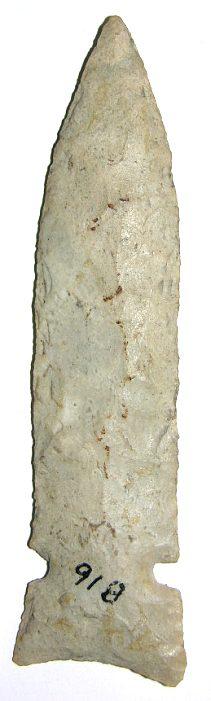
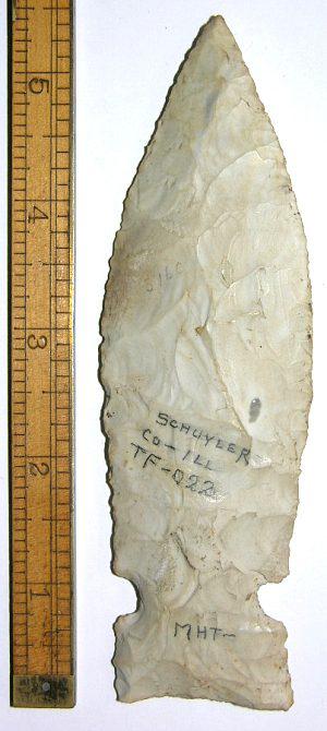
ABOVE: CHEST04 AND CHEST05: Chesterfield point; Schuyler Co., Illinois (although described as St. Louis Co., Missouri); 5.25 inches (133.3mm)
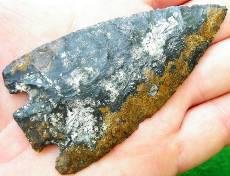
ABOVE: CHEST06: Chesterfield point; Cooper Co., Missouri; 4.2 inches (108mm); Jefferson City chert. Source: Kensrelics dot com
ABOVE: CHEST07, CHEST08 AND CHEST09: Chesterfield point; Lincoln Co., Missouri; 4.63 inches (117.6mm); Burlington chert. Source: Ohiovalleyartifacts dot com
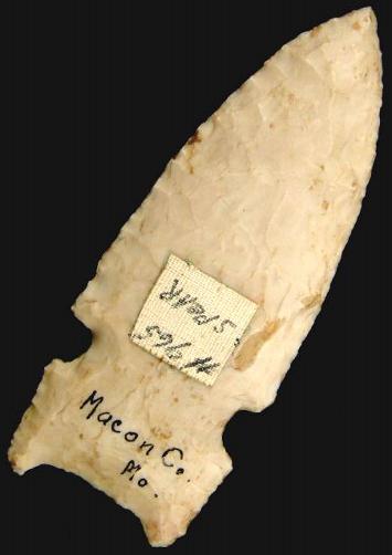
ABOVE: CHEST10: Chesterfield point; Macon Co., Missouri; 3.18 inches (80.7mm); first of four views. Source: Mpkenterprises
ABOVE: CHEST11: second of four views of Chesterfield point described above in frame #10. Source: Mpkenterprises
ABOVE: CHEST12 AND CHEST13: third and fourth of four views of Chesterfield point described above in frame #10. Source: Mpkenterprises End of Chesterfield - Complete Chestnut Associated Dates: 2000 – 1800 Y.B.P.
Chilcotin Plateau Associated Dates: 8000 – 5000 Y.B.P.
CHILCOTIN PLATEAU POINT THUMBNAIL GALLERY (14 images: 7 source images/7 thumbnails)
End of Chilcotin Plateau Thumbnails - Complete
ABOVE: CHILCOT01: Chilcotin Plateau point. Source: Westernartifacts dot com
ABOVE: CHILCOT02 AND CHILCOT03: Chilcotin Plateau point; 2.18 inches (55.3mm); petrified wood. Source: Bcartifacts dot com
ABOVE: CHILCOT04: Chilcotin Plateau point; location unknown. Source: Westernartifacts dot com
ABOVE: CHILCOT05: Chilcotin Plateau point; Multnomah Co., Oregon; 2.31 inches (58.6mm); Biggs jasper; first of two views. Source: Bcartifacts dot com
ABOVE: CHILCOT06: second of two views of Chilcotin Plateau point described above. Source: Bcartifacts dot com
ABOVE: CHILCOT07: Chilcotin Plateau point; Columbia River, Oregon. Source: Westernartifacts dot com End of Chilcotin Plateau - Complete Chile Associated Dates: various
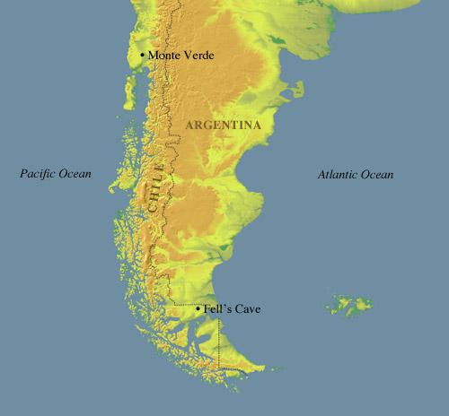
ABOVE: CHILE01: map showing location of Fell’s Cave, 11,000 – 10,000 Y.B.P. Source: Metropolitan Museum http://www.metmuseum.org/TOAH/hd/fell/hd_fell.htm Chillesquaque Associated Dates: 6000 – 5000 Y.B.P.
ABOVE: CHILLES01 AND CHILLES02: Chillesquaque point; Susquehanna River, Cecil Co., Maryland; 1.25 inches (31.7mm); quartz. Source: Relicman2 Chindadn Associated Dates: 11,400 – 11,000 Y.B.P.
ABOVE: CHIND01: Chindadn point; Moose Creek Site, Nenana Valley, central Alaska; dated at 11,190 years, plus or minus 60 years; 1.31 inches (33.2mm). Source: Pete Bostrom, Lithic Casting Lab.
ABOVE: CHIND02: Moose Creek Site, Nenana Valley, central Alaska. Source: Dr. Georges A. Pearson and reproduced by Pete Bostrom, Lithic Casting Lab. For a great deal more information on the Moose Creek Site, please visit lithiccastinglab dot com
ABOVE: CHIND03: three of five Chindadn points found at the Little John Site, Yukon, Canada, “The earliest identified component represents the first unequivocal identification of a Nenana complex assemblage within a stratified context to be found in Canada, and subsequent components range through the entire Holocene to the present. In addition, excavations in 2008 uncovered unassigned culturally modified bison and wapiti in association with flakes and cores dated to c. 14,000 years ago…” ; first of five images. Source: Yukon College; photo by N. A. Easton
ABOVE: CHIND04: second of five images; enlargement in situ of Chindadn point shown above in frame #03. Source: Yukon College; photo by N. A. Easton
ABOVE: CHIND05: third of five images; aerial view of the Little John Site, taken from the southwest. Source: Yukon College; photo by N. A. Easton
ABOVE: CHIND06: fourth of five images; the Little John Site, Yukon, Canada. Source: Yukon College; photo by N. A. Easton
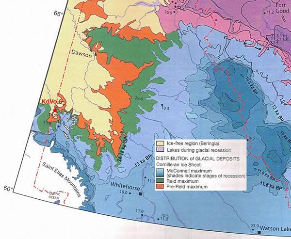
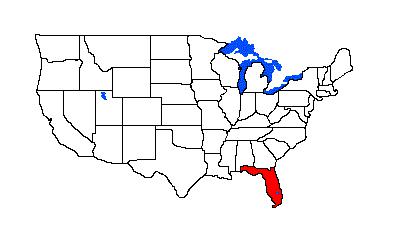
ABOVE: CHIND07: fifth of five images; the Little John Site, Yukon, Canada (see lower left side). Source: Yukon College, adapted from “Ecoregions of the Yukon” and showing that the site was within the ice-free Beringia region: "Pleistocene glacial advances in the region were thin piedmont glaciers extending from the Nutzotin – Wrangel – St. Elias Mountain chain, which begin forty kilometers to the southwest of the site. However the Wisconsin advance of ice ended at McCauley Ridge, some fifty kilometers to the southeast, and began a rapid recession at about 13500 BP; by 11000 BP the region was ice-free to at least the White River, some 150 kilometers to the southeast (Rampton 1971). Thus, the Little John Site lay within Beringia, a proposition further supported by the recovery of Pleistocene fauna (Bison, Equus, Mammuthus, Rangifer, and possibly Saiga ) less than a kilometer from the site…." Chipola Associated Dates: 10,000 – 8000 Y.B.P.
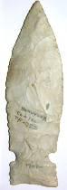
ABOVE: CHIP01: Chipola point; Suwannee Co., Florida; 2.63 inches (66.8mm); first of three views. Source: www.riversoftime.com
ABOVE: CHIP02: second of three views of Chipola point described above in frame #01. Source: www.riversoftime.com
ABOVE: CHIP03: third of three views of Chipola point described above in frame #01. Source: www.riversoftime.com Chiricahua Associated Dates: 10,000 – 8000 Y.B.P.
Choctawhatchee Associated Dates: more info needed
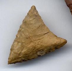
ABOVE: CHOCTAW01: Choctawhatchee point; no details Chumash Associated Dates: 10,000 – 8000 Y.B.P.
Chumash Knife Associated Dates: 9000 – 5000 Y.B.P.
Church Hill Cienega Circle-Top Citrus Associated Dates: 3500 – 2000 Y.B.P.
General Description: A Florida point type, (Bullen 1975) The Citrus is a medium to large basal notched point. A good description of a classic Citrus would be an ovate blade with a round base with two notches in the base, the notches are almost u- shaped and chipped at such an angle as to leave the stem slightly expanding and the barbs square. Made of heat altered cherts and corals, the Citrus point is found almost always in sites with Culbreath, Lafayette, Broward, Hernando and Florida Adena points. See Culbreath, Lafayette and Broward. CITRUS POINT THUMBNAIL GALLERY (56 images: 28 source images/28 thumbnails)
End of Citrus Thumbnails - Complete
ABOVE: CITRUS01: Citrus points; no details
ABOVE, LEFT: CITRUS02: Citrus point, Hernando Co., Florida ABOVE, RIGHT: CITRUS03: Citrus point; no details
ABOVE, LEFT: CITRUS04: Citrus points; no details ABOVE, RIGHT: CITRUS05: Citrus point; Novak Site, Florida; notching incomplete in point on right
ABOVE: CITRUS06: Citrus point; Levy Co., Florida
ABOVE: CITRUS07: Citrus point; Marion Co., Florida
ABOVE: CITRUS08: Citrus point; Levy Co., Florida; 2.19 inches (54.75mm)
ABOVE: CITRUS09: Citrus point; Pasco Co., Florida
ABOVE: CITRUS10: Citrus point; Sumter Co., Florida
ABOVE: CITRUS11: Citrus point; location not given
ABOVE: CITRUS12: Citrus point; central Florida; 3.19 inches (79.75mm); first of five views
ABOVE: CITRUS13: second of five views of Citrus point in frame #12 above
ABOVE: CITRUS14: third of five views of Citrus point in frame #12 above
ABOVE: CITRUS15: fourth of five views of Citrus point in frame #12 above
ABOVE: CITRUS16: fifth of five views of Citrus point in frame #12 above
ABOVE: CITRUS17: Citrus point; central Florida; 2.75 inches (68.75mm); first of five images
ABOVE: CITRUS18: second of five views of Citrus point described in frame #17
ABOVE: CITRUS19: third of five views of Citrus point described in frame #17
ABOVE: CITRUS20: fourth of five views of Citrus point described in frame #17
ABOVE: CITRUS21: fifth of five views of Citrus point described in frame #17
ABOVE: CITRUS22: Citrus point; Gilchrist Co., Florida
ABOVE: CITRUS23: Citrus point; Florida; 2.8 inches (70mm); first of four views
ABOVE: CITRUS24: second of four views of Citrus point described above in frame #23
ABOVE: CITRUS25: third of four views of Citrus point described above in frame #23
ABOVE: CITRUS26: fourth of four views of Citrus point described above in frame #23
ABOVE: CITRUS27: Citrus point; Pasco Co., Florida; 3.38 inches (85.8mm); first of two views. Source: Riversoftime dot com
ABOVE: CITRUS28: second of two views of Citrus point described above. Source: Riversoftime dot com End of Citrus - Complete Citrus Side Notched Associated Dates: 800 – 600 Y.B.P.
ABOVE: CITSN01: Citrus Side Notched point; no details CITRUS SIDE NOTCHED POINT THUMBNAIL GALLERY (8 images: 4 source images/ 4 thumbnails)
End of Citrus Side Notched Thumbnails - Complete
ABOVE: CITSN02: Citrus Side Notched point; Navajo Co., Arizona; 1.48 inches (37.5mm)
ABOVE: CITSN03 AND CITSN04: Citrus Side Notched point; Maricopa Co., Arizona; 1.25 inches (31.7mm) End of Citrus Side Notched - Complete Clagett Associated Dates: 6000 – 5000 Y.B.P. (another source provides 3700 – 3300 Y.B.P) Distribution: primarily Virginia and Maryland
General Description: The following description is from the Virginia Department of Historic Resources (http://www.dhr.virginia.gov/arch_DHR/Points/Clagett.xml): "The Clagett is a long, slender, thick point with pronounced shoulders, a constricted stem, and expanded, straight or concave base. The Clagett point dates to the Middle Archaic period, 4000 to 3000 BCE. The type has not been well-dated in Virginia or surrounding states. Blade: The blade is typically an elongate triangle with straight or slightly convex edges, a sharp tip, and thick, lenticular cross section. Slight beveling occurs on some blades. Prominent shoulders separate the blade from the stem. Base: The base is straight or slightly concave and a few are slightly convex. The stem constricts sharply from the shoulders to the midpoint of the stem and expands sharply to a wide base. The stem is wider than it is long, and comprises 15 to 20 percent of the total length. Size: Length ranges from 43 to 89 mm with an average of 65 mm. Width ranges from 15 to 29 mm with an average of 22 mm. Thickness ranges from 6 to 13 mm with an average of 10 mm. Technique of manufacture: Moderately well made by percussion chipping. Clagett points are very similar in general shape to the Halifax point, except their size range is longer. Similar to the Clagett is the Otter Creek type defined by Ritchie (1961) and the late Big Sandy type from Tennessee. However, many of the Otter Creek and Big Sandy points have well defined notched and squared-off wide bases, while the Clagett type has a more generalized side-notched base. McAvoy (1997) Rowan point description (a term used by avocational archaeologists and collectors in Virginia and North Carolina) is similar to Clagett, and although undated, clearly falls into the late Middle Archaic period. McAvoy notes the similarity of the Rowan type to Halifax points. Originally defined by Stephenson (1963) based on points recovered from the Accokeek Creek Site in Maryland."
ABOVE: CLAG01: Clagett points; lithic materials, L-R beginning with top row: quartz, rhyolite, tuff, quartz; bottom row: rhyolite, rhyolite, quartz, tuff. Source: (http://www.dhr.virginia.gov/arch_DHR/Points/Clagett.xml) Clarksville Associated Dates: 600 – 300 Y.B.P. Distribution: primarily Virginia and Maryland
General Description: The following description is from the Virginia Department of Historic Resources (http://www.dhr.virginia.gov/arch_DHR/Points/Clarksville.xml): "The Clarksville is a very small triangular point, equilateral in shape and almost always made from vein quartz. The Clarksville point dates to the Late Woodland period, 1400 to 1700 CE. Coe described this type in 1938 as being associated with the historic period in the Clarksville area. In the Roanoke Rapids Basin it was also found associated with the historic Gaston period (Coe 1964). Blade: The blade is a small equilateral triangle. Some points are longer and more isosceles in shape. The equilateral shaped points have straight or slightly convex sides, whereas the isosceles forms have straight to slightly concave sides. Base: The base is straight or slightly concave. Size: Length ranges from 10 to 18 mm. with an average of 14 mm. Width ranges from 10 to 16 mm. with an average of 12 mm. Technique of manufacture: Well made and symmetrical with fine pressure flakes on both sides. The Clarksville point is similar to a style defined by Stephenson (1963) at the Accokeek Site which he calls the Potomac point type. This type was originally defined by Coe (1964) based on points recovered from the Gaston site in the Piedmont of North Carolina."
ABOVE: CLARKS01: Clarksville point; Mathews Co., Virginia. Source: Mobjack Relics
ABOVE: CLARKS02: Clarksville points; lithic material, from L-R beginning with the top row: chert, quartzite, chert; bottom row: all quartz. Source: http://www.dhr.virginia.gov/arch_DHR/Points/Clarksville.xml Clay Associated Dates: 3500 – 2000 Y.B.P.
ABOVE: CLAY01: Clay point; no details CLAY POINT THUMBNAIL GALLERY (50 images: 25 source images/25 thumbnails)
End of Clay Thumbnails - Complete
ABOVE, LEFT: CLAY03: Clay point; no details ABOVE, RIGHT: CLAY04: Clay point; Hawkinsville, Florida; 1.81 inches (45.25mm)
ABOVE: CLAY05: Clay points; no details
ABOVE: CLAY06: Clay point; Lee Co., Georgia; 2.75 inches (68.75mm)
ABOVE: CLAY07: Clay point; central Florida; 2.48 inches (62mm); first of five images of this point
ABOVE: CLAY08: second view of Clay point in frame #07
ABOVE: CLAY09: third view of Clay point in frame #07
ABOVE: CLAY10: fourth view of Clay point in frame #07
ABOVE: CLAY11: fifth view of Clay point in frame #07
ABOVE: CLAY12: Clay point; Florida; 3.13 inches (78.25mm); first of four images
ABOVE: CLAY13: second of four images of the Clay point in frame #12
ABOVE: CLAY14: third of four images of the Clay point in frame #12
ABOVE: CLAY15: fourth of four images of the Clay point in frame #12
ABOVE: CLAY16: Clay point; Florida; 3.75 inches (93.75mm); first of four images
ABOVE: CLAY17: second view of Clay point shown above in frame #16
ABOVE: CLAY18: third view of Clay point shown above in frame #16
ABOVE: CLAY19: fourth view of Clay point shown above in frame #16
ABOVE: CLAY20: Clay point; Suwannee Co., Florida; 3.63 inches (92.2mm); first of three views. Source: Riversoftime dot com
ABOVE: CLAY21: second of three views of Clay point described above. Source: Riversoftime dot com
ABOVE: CLAY22: third of three views of Clay point described above. Source: Riversoftime dot com
CLAY23 AND CLAY24: unusual Clay variant, made without stem (not subsequently removed or damaged); Suwannee Co., Florida; 2.38 inches (60.4mm); first two of three views. Source: Riversoftime dot com
ABOVE: CLAY25: third of three views of Clay point variant described above in frame #23. Source: Riversoftime dot com End of Clay - Complete Clear Lake Associated Dates: 800 – 600 Y.B.P.
Clearwater *Associated Dates: more info needed
Clements Associated Dates: 600 –100 Y.B.P. *More Info Needed
Cliffton Associated Dates: 1200 – 500 Y.B.P.
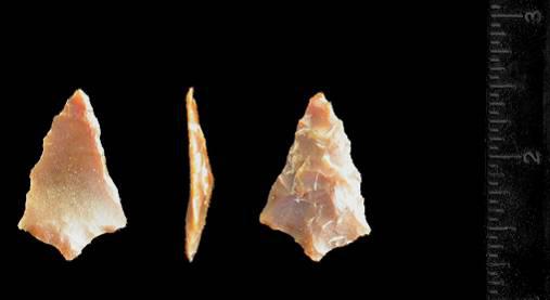
ABOVE: CLIFF01: Cliffton point; Texas. Source: Texasarrowheads dot com Clipped-Wing Bifurcate End of Charcos to Clipped - Complete |
|
©2010 J Keffer |


 >
>